Internet & WiFi
Conference Room
Crew Lounge
Snooze Room
Showers WSI
Television
Hangar
Courtesy Car

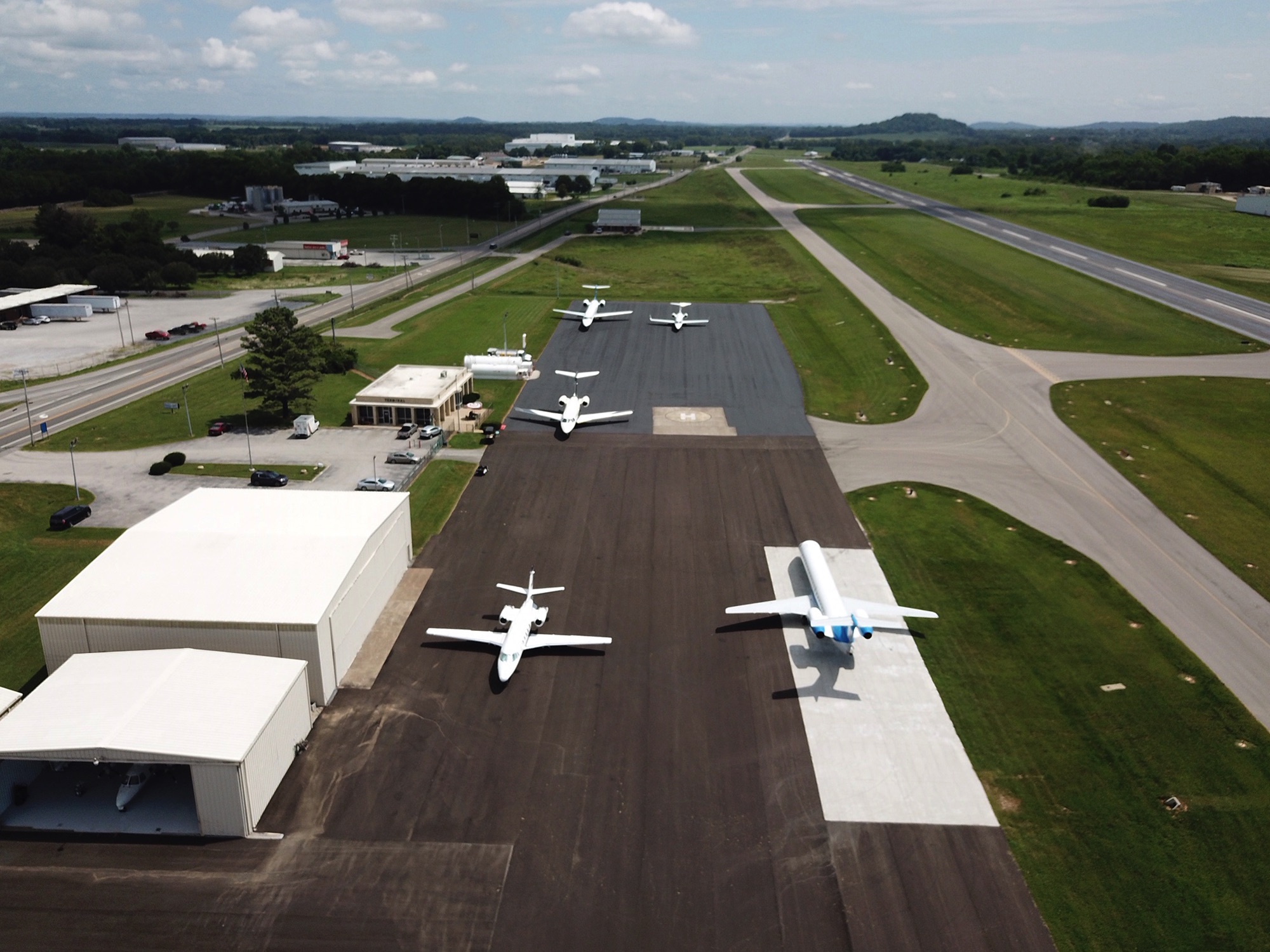
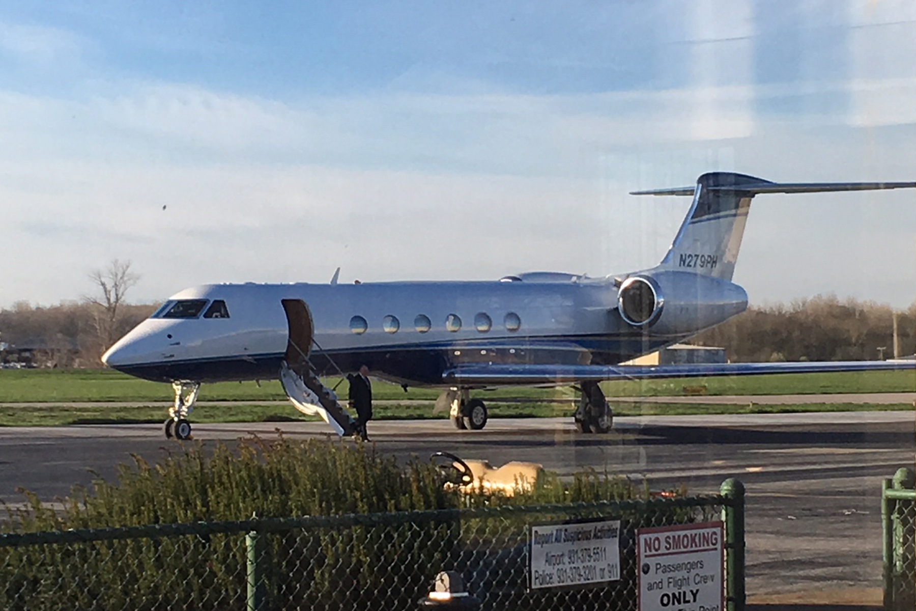
FLY MAURY
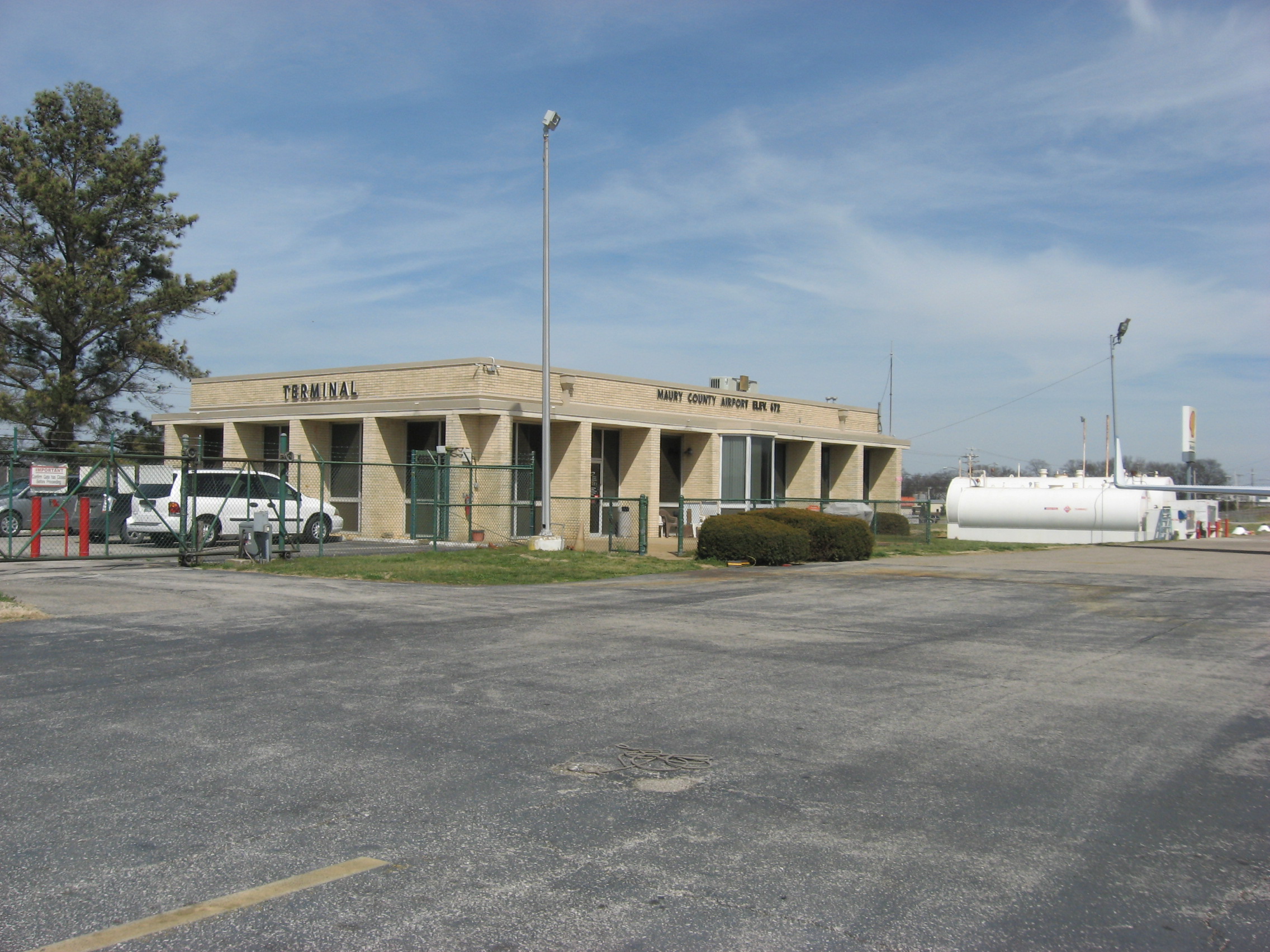
Maury Regional Airport
Columbia / Mount Pleasant, Tennessee
INSTRUCTION
PILOT INFORMATION
OFFICE:
931.379.5511
RESOURCES
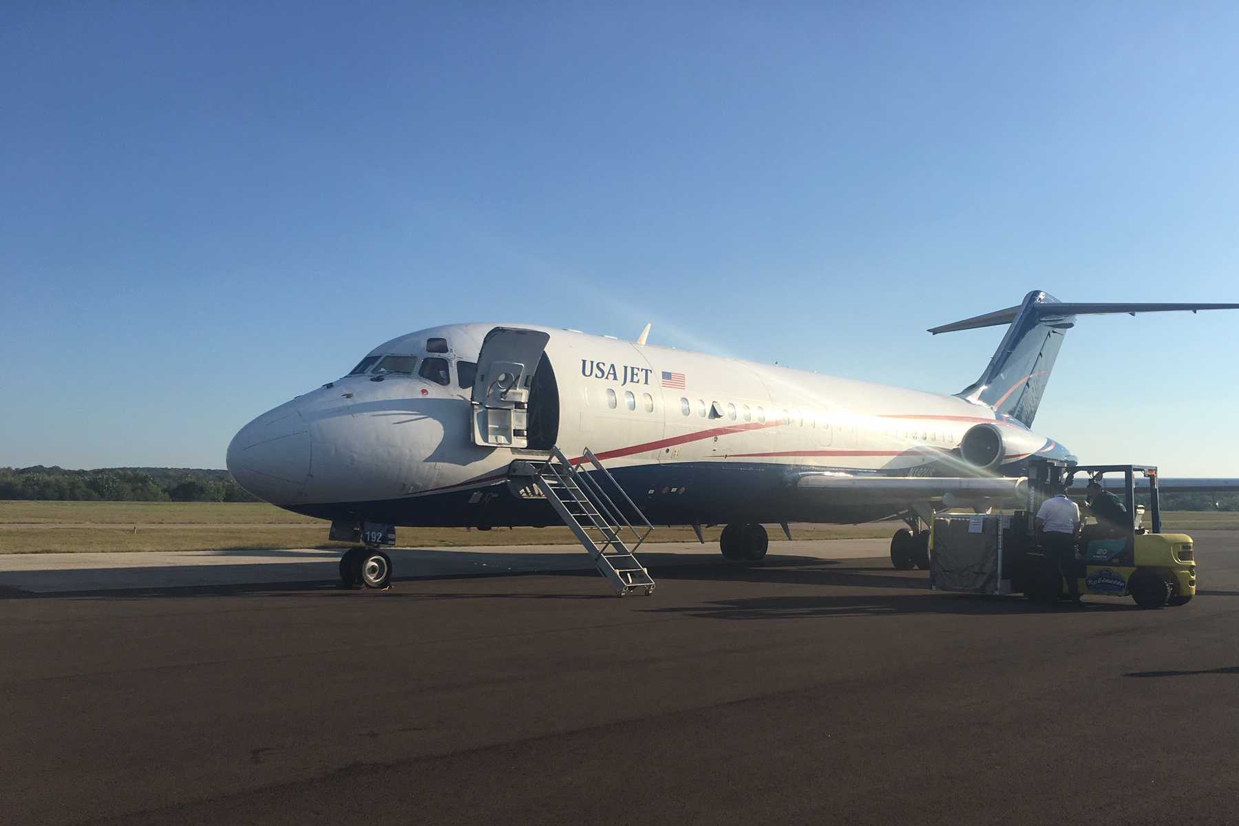
24 Hour Freight Handling Services
Loading - Unloading
Forklift
Location
Communications
Procedures
Radio Navigation
Federal Aviation Administration
Chart Links
Lodging
Rental Car


Internet & WiFi
Conference Room
Crew Lounge
Snooze Room
Showers WSI
Television
Hangar
Courtesy Car